Global Navigation Satellite Systems (GNSS) form the backbone of modern positioning, navigation, and timing (PNT) services. Whether used in aviation, maritime operations, autonomous vehicles, precision agriculture, or telecommunications, GNSS enables accurate and reliable location-based capabilities across the world. In this article, we explore the structure of GNSS, the world’s major satellite navigation systems, and the technological evolution shaping next-generation positioning technologies.
What Is GNSS? A Look at the Core Architecture
All global and regional navigation satellite systems share a similar architecture consisting of three core segments:
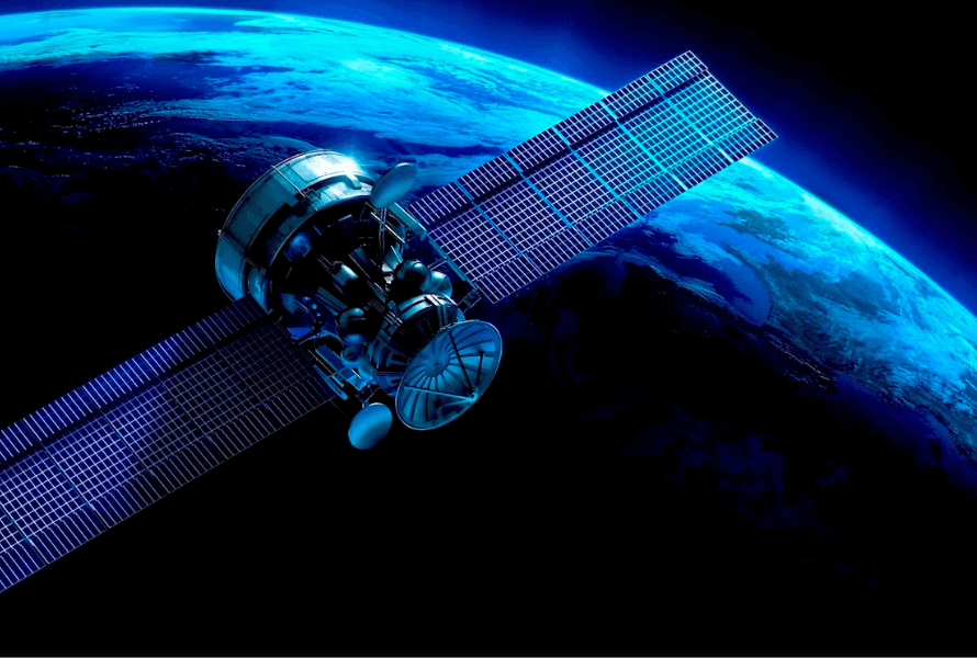
- Space Segment:
Satellites orbiting the Earth transmit timing and navigation signals. - Control Segment:
Ground control stations, uplink antennas, and master control facilities monitor satellite health, upload navigation data, and ensure overall reliability. - User Segment:
Any GNSS-enabled receiver—from smartphones and drones to aircraft, ships, and precision equipment—used to determine position and time.
These systems operate within the L-band frequency range (1.1–1.6 GHz), divided into:
- Upper L-band: 1559–1610 MHz
- Lower L-band: 1164–1300 MHz
This band provides an ideal balance between atmospheric penetration, antenna size, and signal range—making it optimal for reliable global navigation.
Major Global GNSS Constellations
1. GPS (United States)
GPS is the world’s first and most widely adopted GNSS. Initially designed for military use, it became available for civilians in the 1980s.
- Operational Milestones: IOC in 1993, FOC in 1995
- Services:
- PPS (Precise Positioning Service) for authorized users (encrypted Y-code on L1 and L2)
- SPS (Standard Positioning Service) for civilians (C/A code on L1)
- Modern Signals: L2C for civilian accuracy and L5 (1176.45 MHz), interoperable with Galileo, QZSS, and NavIC
- Constellation Size: 31 satellites in MEO
2. GLONASS (Russia)
Russia’s GLONASS began development in the 1980s and has evolved into a competitive global system.
- Operational Milestones: Full constellation in 1996; restored to full capability in 2011
- Technology:
- Traditionally uses FDMA
- Modern GLONASS-K and K2 generations incorporate CDMA for better interoperability
- Frequencies: L1 (1602 MHz) and L2 (1246 MHz)
- Constellation Size: 24 satellites in MEO
3. Galileo (European Union)
Galileo is Europe’s contribution to global navigation, emphasizing civilian control and high-precision capabilities.
- First FOC Satellites: 2014
- Technology: CDMA signals with advanced modulation
- Key Bands:
- E1 (1575.42 MHz): Open Service and PRS
- E5a/E5b (1176/1207 MHz): High-precision services
- Constellation Size: 28 satellites in MEO
4. BeiDou (China)
BeiDou has progressed rapidly from a regional system into a fully operational global GNSS.
- Generations: BeiDou-1 → BeiDou-2 → BeiDou-3 (global)
- Global Capability: Achieved in 2020
- Services: Open Service and encrypted Authorized Service
- Special Feature: Hybrid constellation with MEO, GEO, and IGSO satellites
- Constellation Size: 35 satellites
Regional Systems Enhancing Global Coverage
While four major systems offer global service, two regional systems strengthen local precision and reliability:
QZSS (Japan)
Designed for Japan’s challenging urban and mountainous environments, QZSS augments GPS and improves signal availability using IGSO and GEO orbits.
IRNSS / NavIC (India)
Focused on India and surrounding regions, NavIC provides accurate timing and positioning with a constellation of IGSO and GEO satellites.
GNSS Comparison Table
| System | Orbits Used | Satellite Count | Origin |
|---|---|---|---|
| GPS | MEO | 31 | USA |
| GLONASS | MEO | 24 | Russia |
| BeiDou | MEO, IGSO, GEO | 35 | China |
| Galileo | MEO | 28 | EU |
| QZSS | IGSO, GEO | 5 | Japan |
| IRNSS/NavIC | IGSO, GEO | 7 | India |
The Direction of Modern GNSS Technology
All GNSS systems are undergoing continuous modernization:
- Transition from legacy modulation to high-processing-gain CDMA
- Adoption of advanced signal structures like BOC, CBOC, and AltBOC
- Improved resistance to jamming and interference
- Increased interoperability between GPS, Galileo, BeiDou, and others
These developments significantly enhance precision and resilience, ensuring GNSS maintains its role as a foundational global technology.
Conclusion
GNSS forms the critical infrastructure enabling accurate navigation, timing, and synchronization for millions of applications worldwide. By understanding the architecture, signal structures, and modernization paths of major satellite systems—GPS, GLONASS, Galileo, BeiDou, and regional augmentations like QZSS and NavIC—we gain insight into how global positioning is evolving.
As demand for precision and reliability grows, GNSS will continue advancing to ensure robust, interference-resistant performance across increasingly complex environments.